Log0012 | KCHBR – A Failed Attempt
We bailed on the High Basin Route at Elizabeth Pass. Not because we couldn’t continue, but more because the reward was not worth the growing risk. Even in early August the snow was thick. The 22-23 winter had left more snowpack than any other year on record, and with it, snow bridges, cornices, and perhaps worst of all, swift unrelenting rivers.
I was glad to drop through Elizabeth though. The valley was undeniably at its best. In it, deer, bears and butterflies. The meandering steams knitting their way to the valley floor, split by waterfalls and filled with fish. And the medley of wild flowers rivalled the best I had ever seen.
As enjoyable as it was, the conditions had left a little uncertainty. The on-trail travel was near as tedious as a usual off-trail adventure. Blowdowns, wading, debating, route finding, even if the way was marked on a map. So we were happy as we came up to the rangers’ station and a young fella came out onto the porch to greet us.
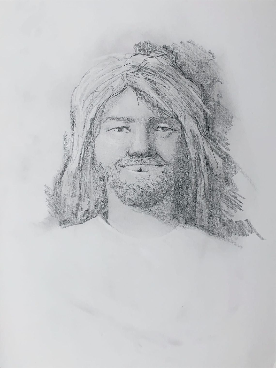
His uniform matched our own. A sun bleached loose tee and baggy pants that were in desperate need of a wash. Where the river crossings hadn’t been enough to cut the through the dirt and odor. I guessed not all rangers worn the green on green NPS threads.
Either way, this greasy haired cat was beaming ear to ear and more than willing to trade trail reports.
Stationed in the South of Kings Canyon he knew the immediate valleys inside out. But had hardly ventured across to the other reaches of the park. His trail crew colleagues were only half a day away, and beginning to cut their way up Bubbs Creek, and out of his range. An unfortunate fact, that told us we were about to be battling yet more blow downs when we got ahead of them.
I enjoyed hearing about his solo exploits ranging up and over these passes, wading through chest deep rivers and crossing thick snowfields. He’d went on and shared details of Big Bird Lake, a feature that’d caught my eye on the map; how you can quite easily follow up the drainage to reach its shores. And, that it can even been used as an entry point into the Tablelands.
He’d even heard enough contradicting stories to explain the relics we saw in the valley, supposedly there had he been a sheepherder, Alfred, who lived up in the pass tending his flock, until and accident lead to his final repose back in 1887(?).
Living out here you learn what makes these passes. And I was beginning to learn how the crews and rangers lean on one another. He’d bragged that if you knew the right crews then you could do the whole High Sierra Trail and back with no resupply and little more than a day or twos food. They’ll all share with a familiar face.
Especially one with a chipped front tooth that made for an authentic kind of smile, I figured.
As we left his porch he recommended a few camping spots. Flat, wooded, close to water and far from bugs. Ideal.
The next day, around noon right as predicted, we came up on two trail crews. We mentioned the ranger we’d spoken to. “Collin!” they replied. He’s good people.